Extreme Accuracy and Centimetric Detail
Every architectural detail, every surface, and every structural element is captured with absolute fidelity for reliable, code-compliant surveys.



We perform topographic, architectural, and interior surveys using drones and 3D laser scanners, producing precise models and point clouds usable in BIM. We use aerial photogrammetry and SLAM laser scanner technology to deliver the BIM model with centimeter accuracy.
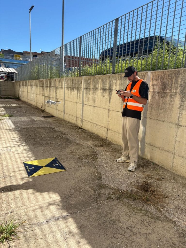
Traditional surveying of buildings and land is often slow, inaccurate, and expensive. Errors or incomplete data can slow down design and construction, increasing risks and additional costs.
We use professional drones for photogrammetric and topographic surveys, 3D laser scanners for interiors and facades, and advanced aerial photogrammetry techniques that allow us to be fast and precise.
Our point cloud processing and rendering service represents the technological heart of every modern surveying project.
Thanks to the integration of advanced technologies such as 3D laser scanners for surveys, drones for topographic surveys, and drone photogrammetry, we transform millions of acquired points into digital models usable for design, analysis, and documentation.
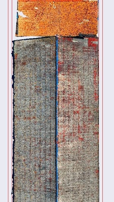
The graphic restitution of the survey includes the extraction of sections, elevations, plans and three-dimensional models from the laser scanner point cloud.
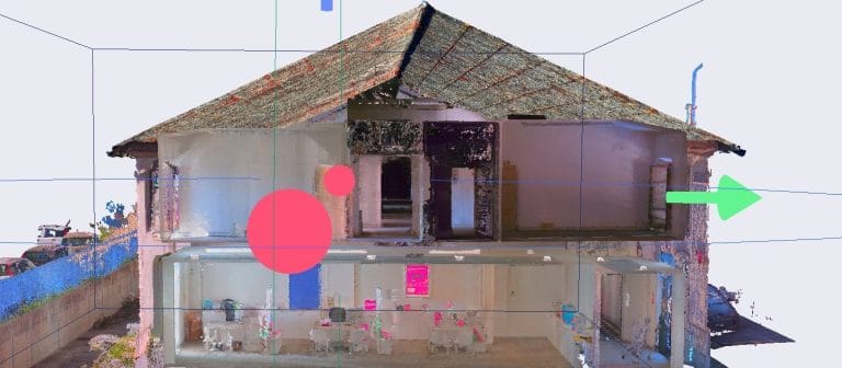
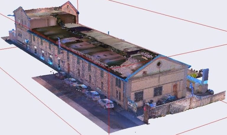
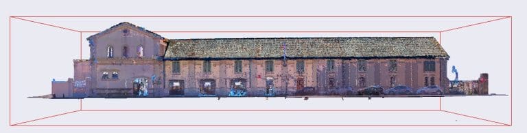
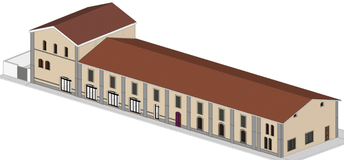
Our BIM survey delivery service represents the digital evolution of building design.
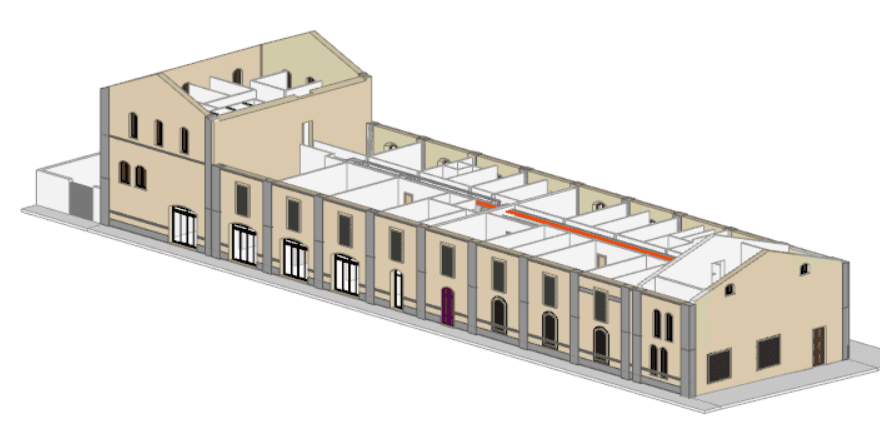
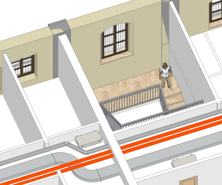
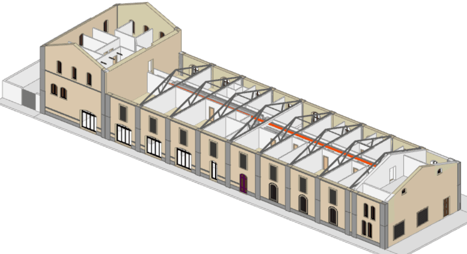
Through the scan-to-BIM process, we transform data acquired with 3D laser scanners for surveys, drones for architectural surveys, and drone photogrammetry into parametric three-dimensional models rich in technical and geometric information.
Our BIM survey service integrates all phases: from acquisition via laser scanner for architectural surveys and drone for topographic surveys, to point cloud processing, up to the graphic restitution of the survey in native BIM format.
Thanks to drones, photogrammetry, and laser scanners, every detail is captured with centimeter precision.
Topographic, architectural, facade, roof, interior, and terrain surveys, always integrable into BIM.
We transform raw data into usable models for design, analysis, and construction.
Drone with LiDAR, drone photogrammetry, 3D laser scanner, and scan-to-BIM for reliable and safe surveys.







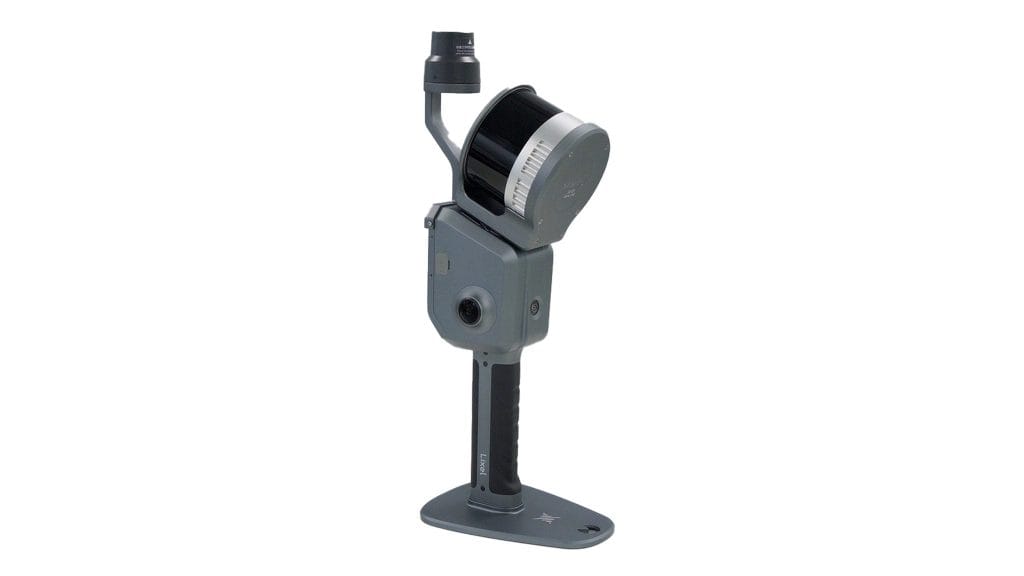
Discover the highest precision in architectural and topographic surveying with our professional 3D laser scanning service.
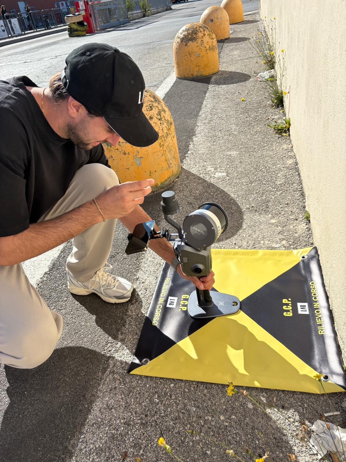
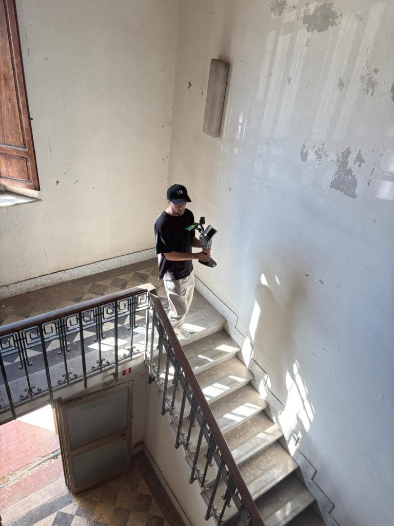
We use the SLAM XGRIDS L2 PRO laser scanner, latest-generation technology that captures millions of points in minutes, creating extremely accurate three-dimensional digital models of interiors, exteriors, historic buildings, industrial plants and infrastructures.
SLAM (Simultaneous Localization and Mapping) technology enables rapid scans even in complex environments, without the need for targets or fixed stations.
Perfect for BIM projects, restoration, architectural design, as-built documentation, facility management and reverse engineering.
Receive detailed point clouds, plans, sections, elevations, and 3D models ready to integrate into your design software.
Transform the way you survey buildings, land, and structures with our drone photogrammetry service.
We use advanced technology to acquire precise metric data and create detailed 3D models, point clouds, and high-resolution orthophotos.
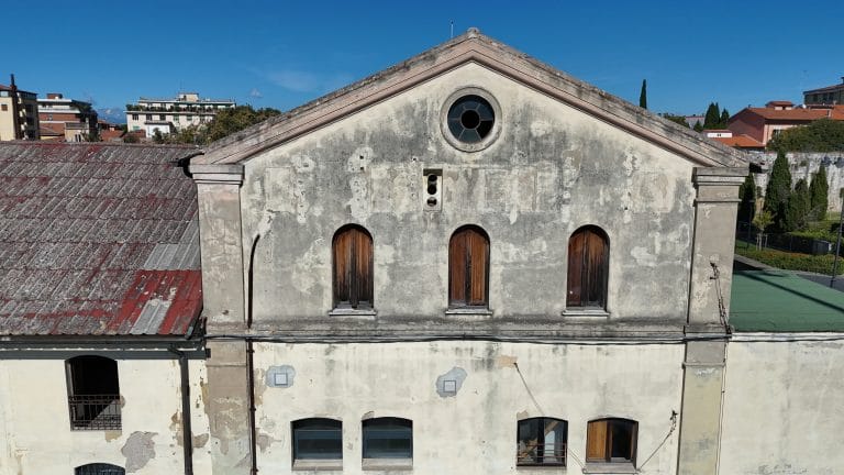
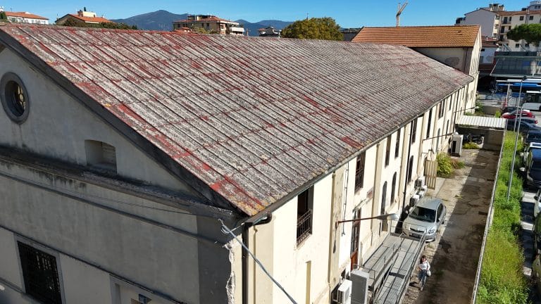
Whether you need a complete architectural survey, roof and roof inspections, or documentation of construction sites and archaeological sites, our professional drones reach even the most inaccessible areas with complete safety.
Get accurate results in less time, at competitive costs compared to traditional methods.
Ideal for architects, engineers, surveyors, construction companies and professionals seeking reliable data for design, restoration, monitoring and technical documentation.
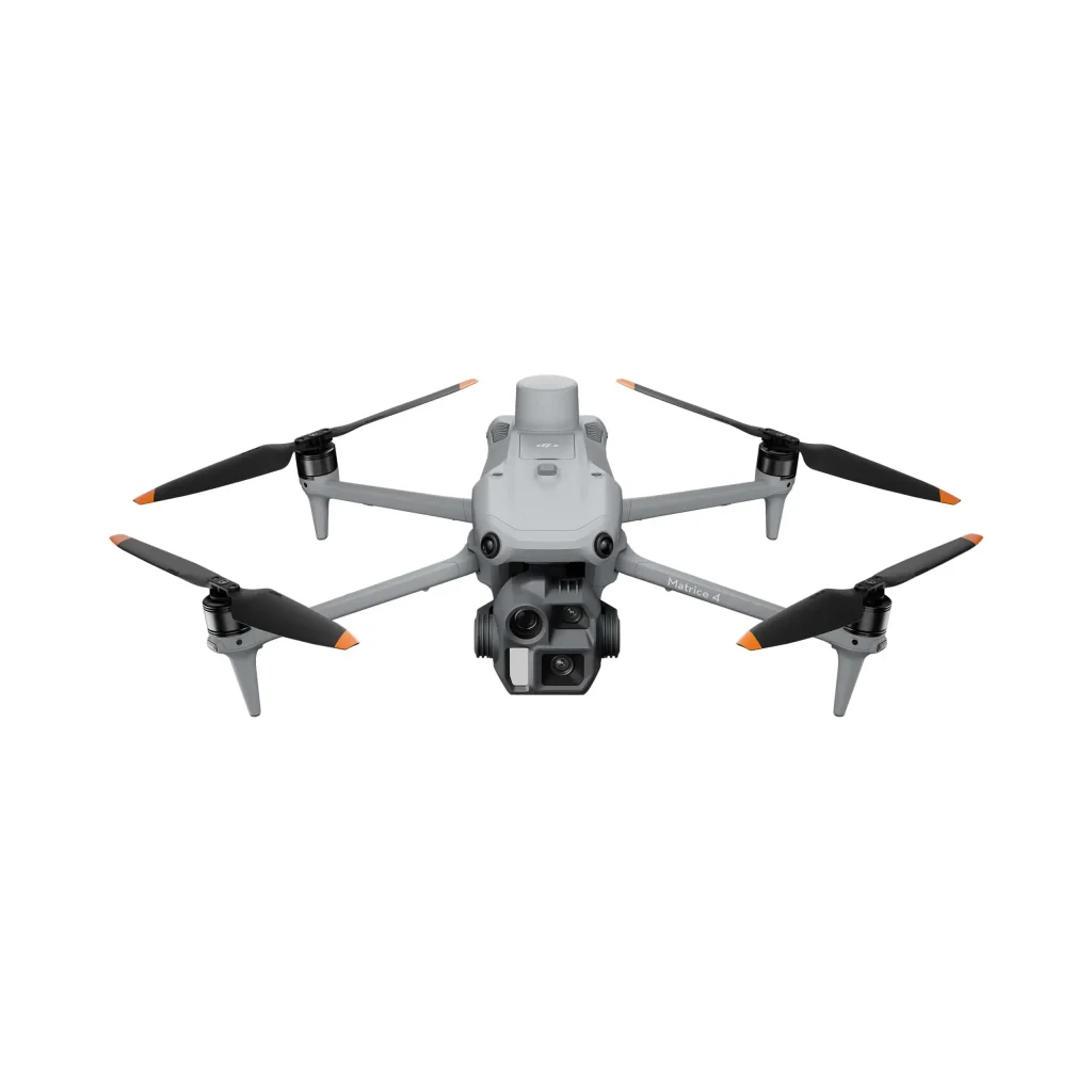
We perform topographic, architectural, facade, roof, and terrain surveys using professional drones with photogrammetry and LiDAR, to obtain detailed 3D models and point clouds.
The 3D laser scanner captures every detail with millimeter precision, even in interiors or complex spaces, generating point clouds ready for BIM and design.
Yes, all drone or laser scanner surveys are processed into BIM-compatible 3D models, allowing for immediate design, analysis, and data verification.
Pricing varies based on the type of survey, area size, and technology used (drone, LiDAR, or laser scanner). We provide personalized and transparent quotes, optimized for accuracy, time, and cost.